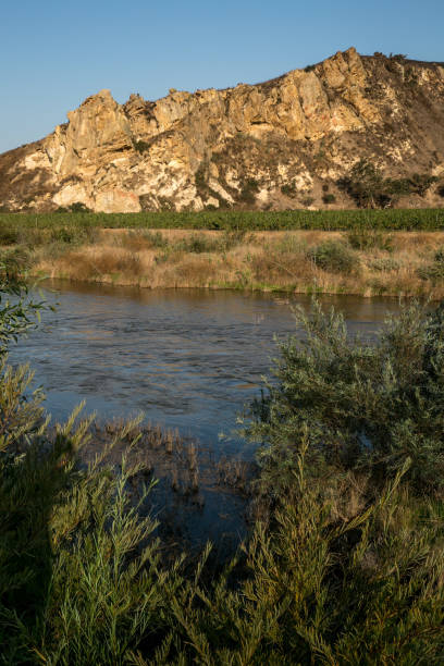
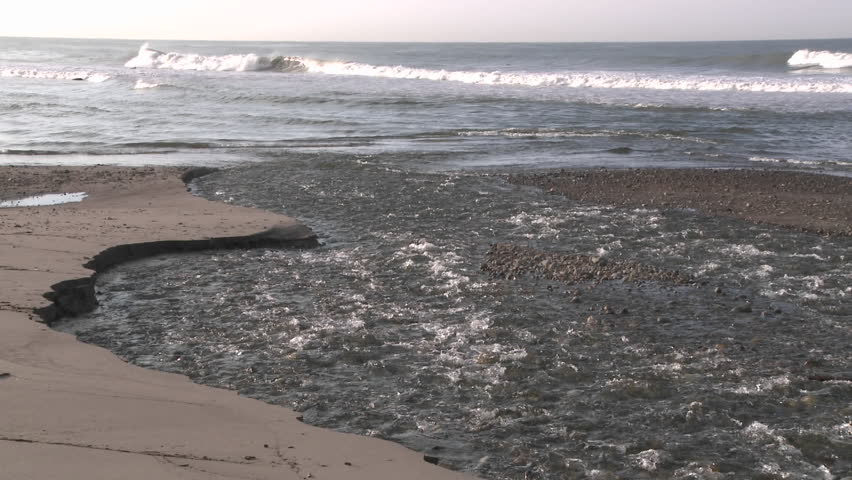
Ventura River
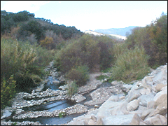
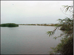
The Ventura River and its tributaries comprise the major watershed in Flood Zone 1 comprising the west-center portion of Ventura County. Significant tributary creeks to the Ventura River include Matilija Creek, North Fork Matilija Creek, Coyote Creek, Senior Canyon, Reeves and Thacher Creeks, Lion Canyon, Coyote Creek, San Antonio Creek, and Cañada Larga. The Ventura River Watershed comprises an area of approximately 223 square miles, with a little less than half of it within the Los Padres National Forest. The Ventura River discharges directly into the Pacific Ocean and serves as the natural western boundary for the City of Ventura.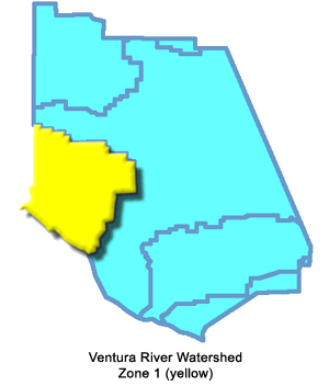
Zone 1 boundaries incorporate two of the Supervisorial Districts for Ventura County (District 1 and District 3), with Supervisor District 1 covering a majority of the zone.
Annual weather conditions are characterized by warm summer daytime highs often tempered by ocean breezes and cool clear winter nights. Frosts are rare in the near coastal region but can be a problem for agricultural operations in inland valleys and elevated mountain portions of the watershed. Due to what is known as a “rainshadow effect”, cloud systems moving inland off the Pacific Ocean soon encounter the steep mountains located only 1 to 2 miles from the coast and must discharge a majority of their contained weighted moisture before these clouds can rise to continue moving inland. This results in Zone 1 receiving the most rain in Ventura County with nearly twice the amount compared to any other area or zone.
Average annual rainfall for the drainage basin upstream of Matilija Dam is 23.9 inches per year while the average annual rainfall near the mouth of the Ventura River is approximately 16.9 inches per year. Overall average measured rain for the entire watershed is approximately 20 inches per year. Extreme seasonal variation in rainfall means over 90 percent of any given year measurement is recorded between the months of November and April. Peak historic rainfall intensity was over 4 inches per hour measured during a 15-minute period at the Wheeler Gorge rain gauge located in the mountains adjacent to Ojai Valley.
North-South crustal compression resulting from plate tectonic movements has contributed to once-horizontal rock layers being uplifted to near-vertical in many cases, and even overturned in some extreme folding or faulting situations. These highly folded mostly marine sedimentary rocks typify steep slopes in the upper portion of the watershed north of the Ojai Valley, and present significant barriers to the natural north-to-south flow direction of the Ventura River as it tries to reach the Pacific Ocean. Somewhat unique to stream systems, the Ventura River is what Geomorphologists call an “antecedent stream”. This is a stream that maintains its original course and pattern by downcutting at the same rate the underlying rocks are being uplifted. In this case, that’s about 1/4 to 1/2 inch per year of erosion cancelling out the same amount of vertical crustal uplift.
Constant erosion rates therefore produce a large volume of sediment supplied to the Ventura River from upper-elevation tributary streams. Mass wasting from erodible, colluvial soils on hillsides, including slides, slumps, debris flows and earthflows, is a common mechanism by which sediment is transported to the river channels. Sediment production in the area is also impacted by the occurrence of more frequent than desired forest fires that burn off and clear the normally dense vegetation on slopes and flatter areas within the watershed. All that debris (rocks, boulders, sand and mud) greatly increases the erodibility and grinding of the creek bottoms and natural stream channels (US Army Corps of Engineers, 2004).
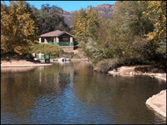
 The watershed topography is characterized by rugged mountains in the upper basins transitioning to relatively flat valleys in the lower downstream areas. Over 75 percent of the Ventura River Watershed is classified as rangeland covered with shrub and brush and 20 percent of the basin is classified as forested. In general, the highest sediment-producing parts of the watershed are those covered in shrub and brush and are located in the upper parts of the watershed where slopes are greater and annual rainfall is larger. Nearly 45 percent of the watershed can be classified as mountainous, 40 percent as foothill, and 15 percent as valley area. Two major reservoirs lie within the watershed, Lake Casitas and Matilija Reservoir. Both serve as water supply reservoirs, with Casitas Dam located on Coyote Creek about 2 miles upstream of its confluence with the Ventura River.
There are five debris basins that collect sediment from drainages before they enter the mainstem Ventura River. Live Oak, McDonald and Dent Canyon basins are on direct tributaries of the Ventura River. There is one on Stewart Canyon, a tributary to San Antonio Creek, and another partially destroyed basin on upper San Antonio Creek. Major communities in Zone 1 include the City of Ojai, community of Oak View, and the western part of City of San Buenventura. Total population in these communities in year 2000 was approximately 22,988, excluding the western portion of the City of San Buenaventura and County inhabitants (USACE, 2004).

